 Seoul City Guide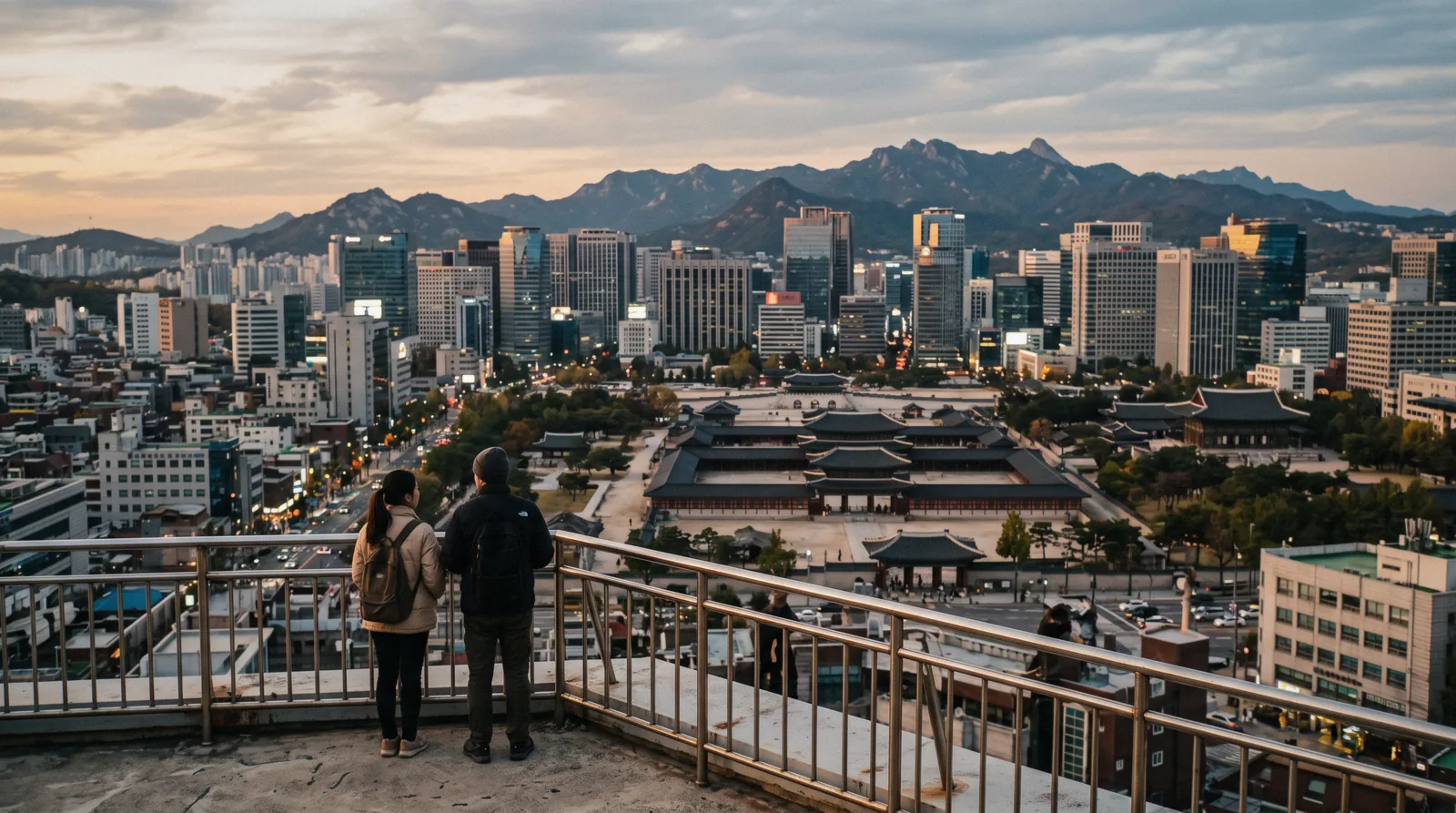
Seoul Map: Where Everything Is, and How Far Apart
A Seoul map is most useful when it answers one question: what is near what. This page pins the main sights by district, gives the walking and metro times between them, and explains why Google Maps will not route you on foot here, checked in Q3 2026. Everything it links to sits under the Seoul city guide homepage.
Quick answer One walkable quarter, and everything else on Line 2
Seoul divides into a walkable historic core north of the river — the palaces, Bukchon, Insadong, the markets, all within about two kilometres — and a set of districts that are twenty-five to forty minutes apart by metro. Getting that shape right is what stops a short trip becoming a series of train rides.
Key takeaways
- Download Naver Map or KakaoMap before you arrive. Google Maps cannot route you on foot in Korea — the data is restricted by law.
- The palace quarter is one walk, not four metro journeys. Gyeongbokgung to Gwangjang Market is 25 minutes on foot.
- Line 2 is the loop that connects Hongdae, Gangnam, Jamsil and Seongsu — most cross-city trips use it.
The Map
Numbered pins, filterable by category. The list below the map is the same set in text, grouped the same way — every place links to its own page on this site and to Google Maps for directions.
Sights & tickets 10 pins
- Gyeongbokgung Palace₩3,000
- Changdeokgung Palace₩3,000
- Huwon, the Secret Garden₩5,000
- Changgyeonggung₩1,000
- Jongmyo Shrine₩1,000
- Deoksugung₩1,000
- Seoul Sky at Lotte World Tower₩31,000
- Lotte World₩61,000 gate
- Jamsil baseballTicket + dinner from $88
- A jjimjilbang₩10,000–₩20,000
Free 20 pins
- Bukchon Hanok VillageFree
- Jogyesa TempleFree
- National Palace MuseumFree
- National Folk MuseumFree
- Cheonggyecheon streamFree
- GyeonghuigungFree
- N Seoul TowerFree / ₩29,000
- Namsan park and the beacon moundFree
- Sungnyemun gateFree
- Seoul City Wall, Naksan sectionFree
- National Museum of KoreaFree
- War Memorial of KoreaFree
- Leeum Museum of ArtFree, booked
- Gyeongui Line Forest ParkFree
- Han River parksFree
- Seoul ForestFree
- Dongdaemun Design PlazaFree
- Starfield LibraryFree
- Bongeunsa TempleFree
- Bukhansan National ParkFree
Markets & food 4 pins
- Gwangjang MarketFree to walk
- Myeongdong street food₩3,000–₩6,000 a piece
- Namdaemun MarketFree to walk
- Itaewon food streetsDinner ₩15,000–₩30,000
Neighbourhoods 4 pins
- Ikseon-dongFree
- InsadongFree
- Hongdae buskersFree
- Seongsu-dongCoffee ₩6,000–₩8,000
Day trips 2 pins
- A DMZ tourfrom $45
- Suwon Hwaseong fortressFree wall walk
Pin positions come from each page's published coordinates; prices are the official adult admission on the date each page was checked. Google Maps is linked for directions because it is what most visitors have — for walking routes inside Korea, Naver Map or KakaoMap are the ones that work.
Why Google Maps Does Not Work Here
South Korea restricts the export of detailed mapping data, a rule with security origins that has never been lifted for foreign map providers. The practical consequence for a visitor is specific and worth understanding before you land.
Google Maps in Korea will give you public-transport directions, which work. It will not give you reliable walking or driving directions, and its business data — opening hours, whether a place still exists — is thin.
The replacements are Naver Map and KakaoMap. Both have English interfaces, both route you on foot accurately, both name the metro exit you want, and Naver in particular has dense and current business information because it is what Koreans use for reviews.
Install one before you arrive and use it for everything: routing, exits, opening hours and restaurant ratings. It is the single most useful piece of preparation for a Seoul trip, and it needs a data connection to be worth anything.
Map Questions
Does Google Maps work in Seoul?
Only for public transport. Korean law restricts export of detailed mapping data, so walking and driving directions are unreliable. Use Naver Map or KakaoMap, both of which have English versions.
How far apart are Seoul's attractions?
The palace quarter is walkable end to end in about 25 minutes. Everything else is 25 to 40 minutes by metro, and the airport is an hour.
Which metro line is most useful for tourists?
Line 2, the loop, which connects Hongdae, Gangnam, Jamsil and Seongsu. Line 3 links the palace quarter to Gangnam, and Line 4 serves Myeongdong and the airport train interchange.
Can I walk between the palaces?
Yes. Gyeongbokgung to Changdeokgung is about fifteen minutes, and both are within ten minutes of Bukchon and Insadong.
What is north and south of the Han River?
North is the historic city — palaces, markets, hanok quarters, universities. South is Gangnam and Jamsil, built from the 1970s, with the tallest building and the convention centre.
Do I need a paper map of Seoul?
No, but tourist information centres hand out good ones free, and they are useful for planning a day before you have data. What you do need is a connection.
What is the nicest area of Seoul?
For a visitor: Jongno for the palaces and hanok lanes, Seongsu for daytime, Hongdae for night. The neighbourhoods page compares them by what each is awake for.
Can you walk everywhere in Seoul?
No — the city is thirty kilometres across. The historic core is walkable end to end in about 25 minutes; everything else is a metro ride of 25 to 40 minutes.
Is Seoul cheap or expensive?
Cheap for transport, food and sights; mid-range for hotels. An ordinary day costs about ₩44,000 a head — the full breakdown.
Reviewed Q3 2026 (July–September 2026); next review Q4 2026. Prices, hours and terms are set by the venue or operator and confirmed at checkout.
We may earn a commission if you book through one of our links, at no extra cost to you. Full affiliate disclosure